University of Florida // Wildlife Ecology & Conservation

Luke J. Evans

Assistant Scientist (Faculty)

Applied wildlife ecologist. I turn management data into decisions, building population models, risk platforms, and spatial tools that agencies, landowners, and communities use to manage invasive species, human-wildlife conflict, and working lands.

18+ Publications
~$1M Grant Funding
900+ Citations
6 Decision Tools
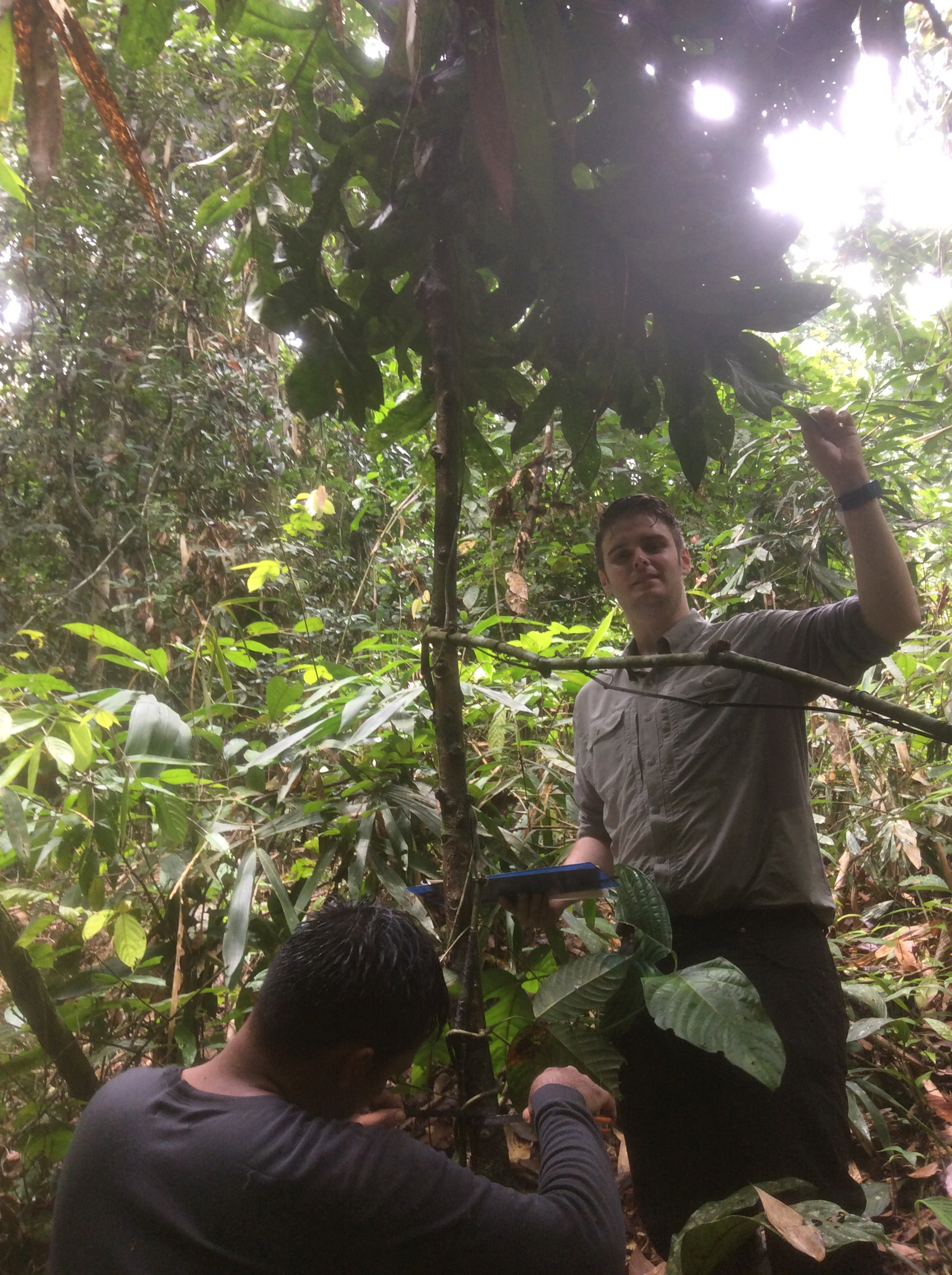
Luke Evans conducting fieldwork in Borneo rainforest
Ph.D., Cardiff University
Gainesville, FL
IUCN CSG Vice Chair

Management Data into Decisions

I'm a quantitative ecologist who works at the applied end of conservation. After a Ph.D. on human-crocodile conflict in Malaysian Borneo and postdoctoral positions at Stanford University, Arizona State University, and the University of Florida, my work now centers around aiding decision makers in making informed management strategies.

The answers have been statewide crocodile population models for the Sabah government, invasion risk platforms for the Florida Fish and Wildlife Conservation Commission and the Department of the Interior, and a live evaluation of the National Park Service's twelve-year tegu removal programme in the Everglades. In every case the product is a tool with a user, not a report with a recommendation.

Getting to adoption means workshops, expert elicitation, training, and time with the people who will use the tool. That side of the work, where science starts changing what a manager does on Monday morning, is the part I find most satisfying.
Research Interests

Invasion Science Human-Wildlife Conflict Population & Harvest Modelling Decision Support Tools Remote Sensing Working Lands & Habitat Science-Policy Interface Quantitative Ecology

Academic Journey

2025 – Present

Assistant Scientist (Faculty)

University of Florida, Wildlife Ecology & Conservation

Leads the tegu removal programme evaluation for the National Park Service and invasion risk platforms for state and federal partners.

2020 – 2025

Postdoctoral Researcher

University of Florida

Invasive species risk assessment & decision support tools. PIs: Dr. Brett Scheffers & Dr. Christina Romagosa

2019 – 2020

Postdoctoral Researcher

Arizona State University, Center for Global Discovery and Conservation Science

Remote sensing of tropical ecosystem change. PI: Dr. Greg Asner

2017 – 2019

Postdoctoral Researcher

Stanford University, Carnegie Institution for Science

Animal movement & remote sensing. Creation of a 400,000 ha protected area in Sabah. PI: Dr. Greg Asner

2016 – 2019

Crocodile Conservation Manager & Technical Manager

Danau Girang Field Centre / Sabah Wildlife Department, Malaysia

State-wide crocodile surveys, conservation strategy, and PhD student supervision

2012 – 2016

Ph.D. in Ecology

Cardiff University, UK

Human-crocodile conflict, satellite tracking, and population genetics in Malaysian Borneo

Research Programs

Applied work built around management questions, on a foundation of a decade of field ecology in Borneo.

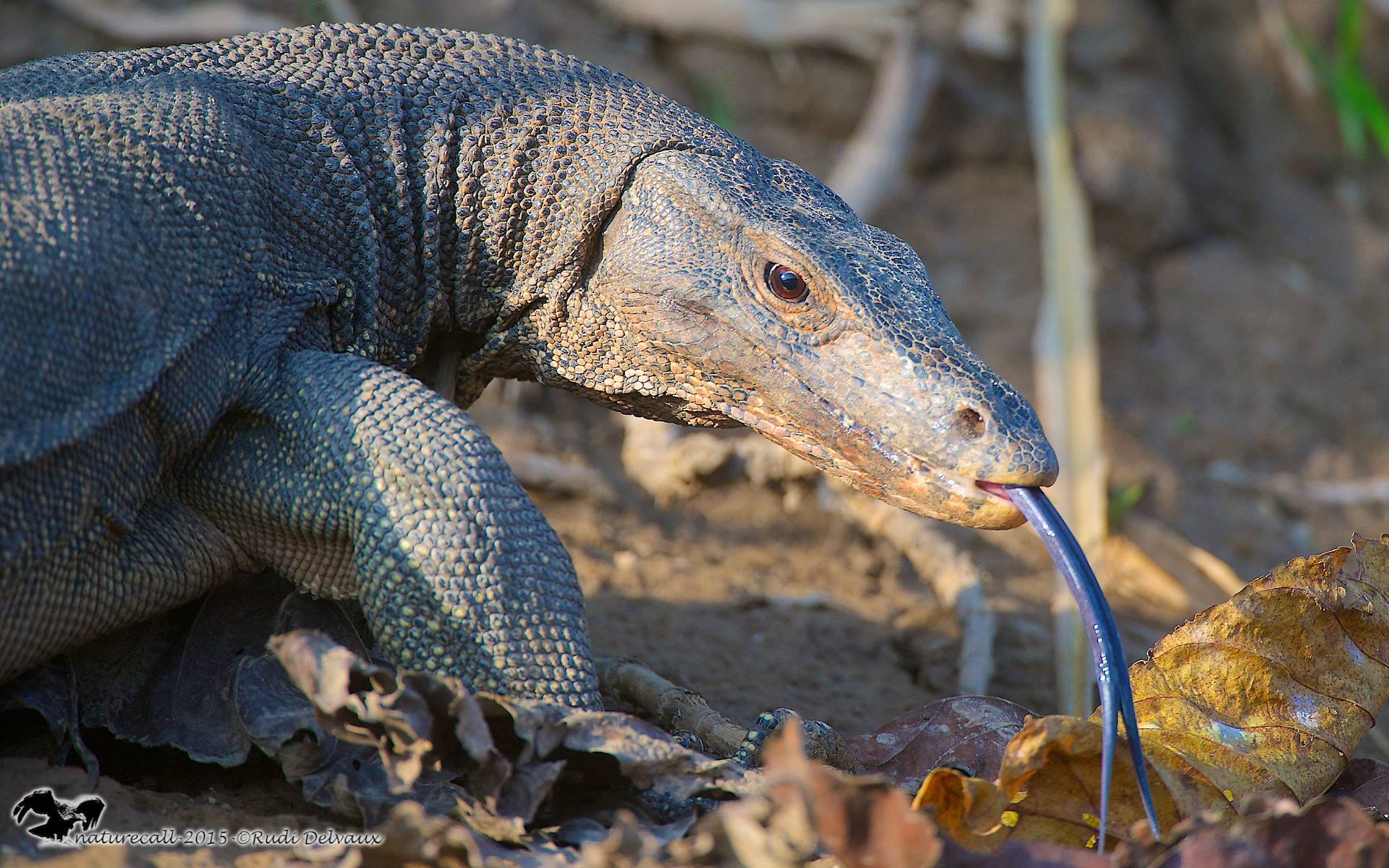
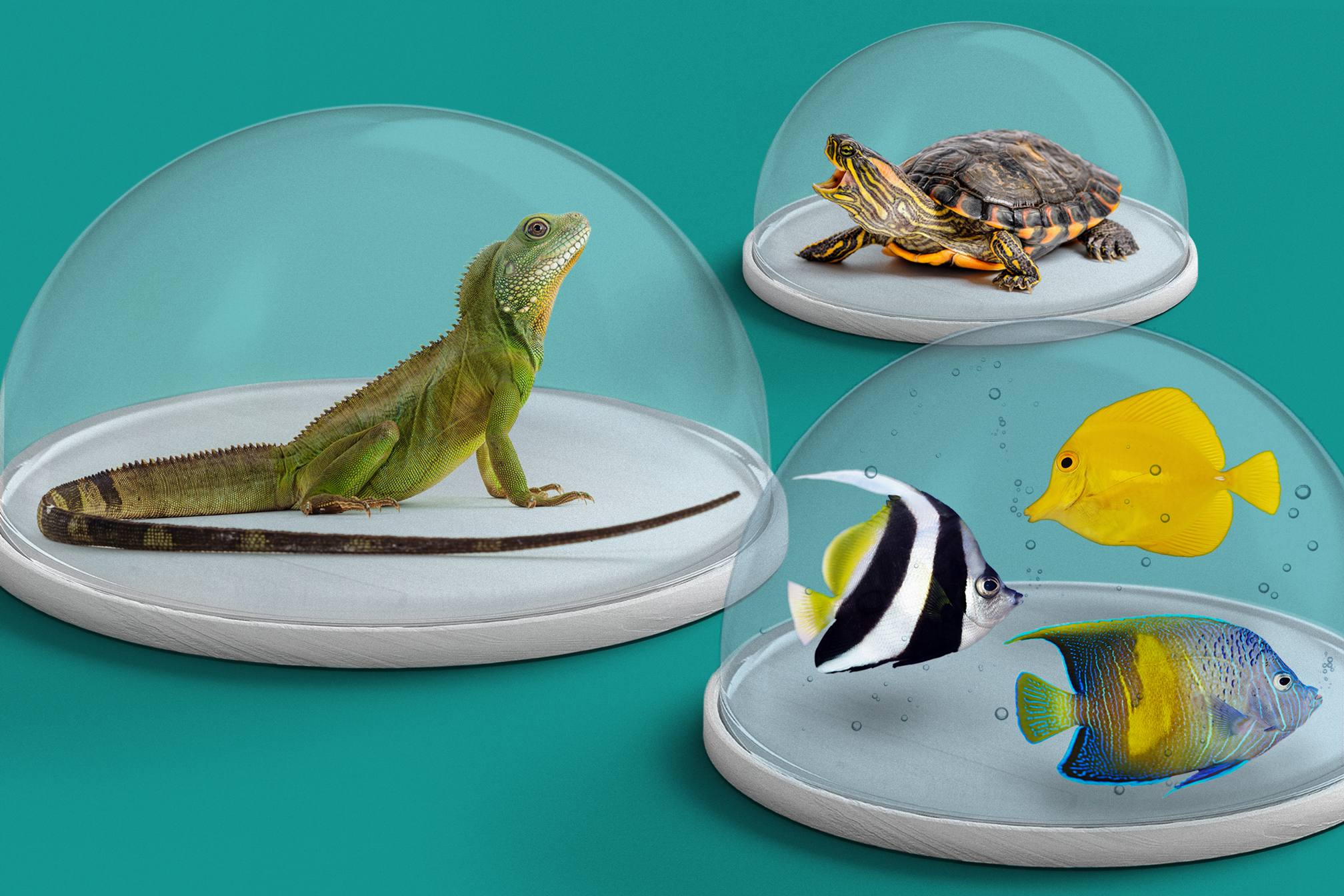
Invasive species risk from the exotic pet trade

Invasive & Exotic Wildlife

Quantitative risk assessment for the exotic pet trade, climate adaptation of invasion risk, and evaluation of long-running removal programmes. Risk platforms built for the Florida Fish and Wildlife Conservation Commission and the Department of the Interior are in daily use. A Bayesian state-space framework now tracks catch rates, recruitment, and population trend across twelve years of Argentine black and white tegu removal for the National Park Service.

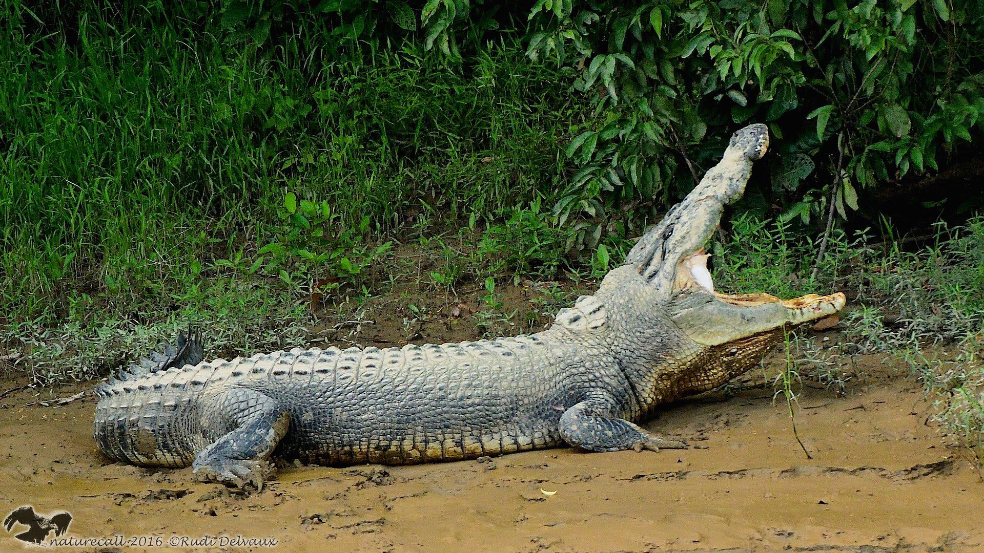
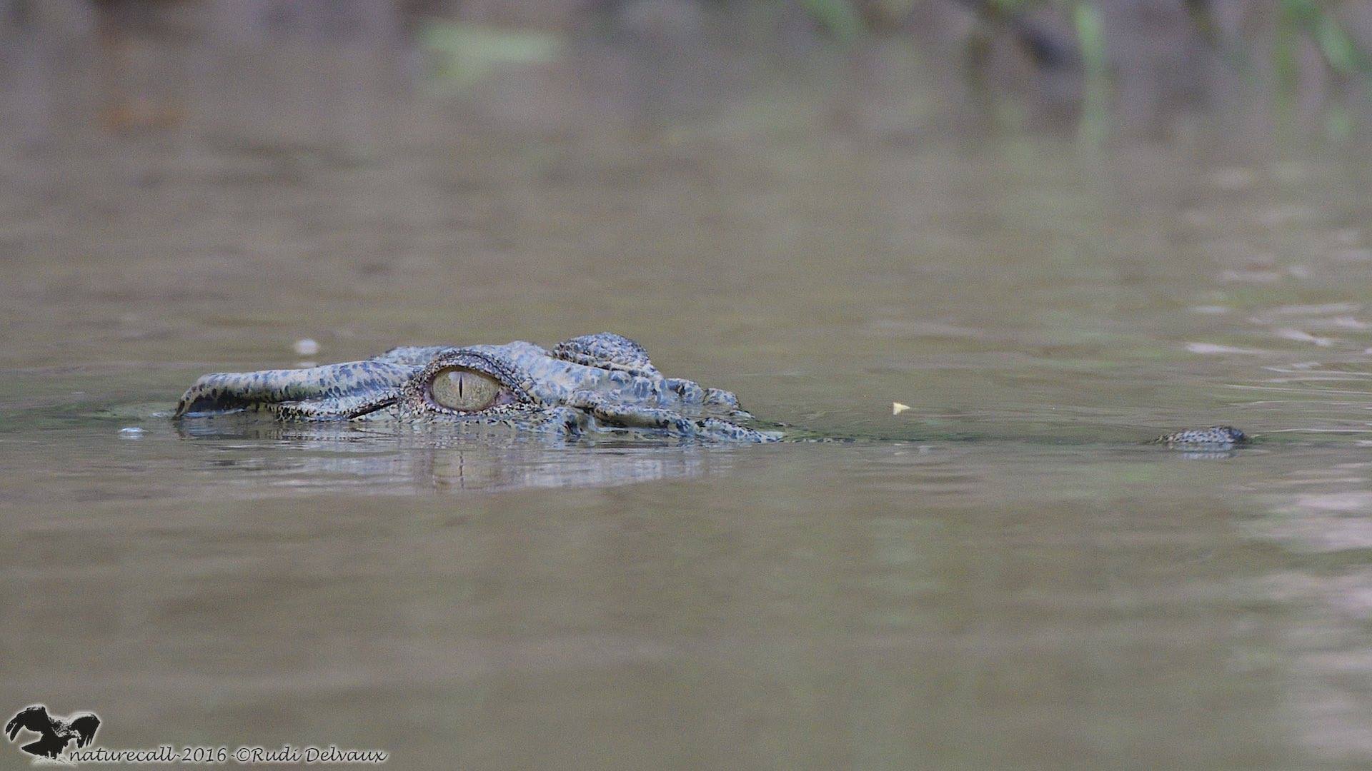
Estuarine crocodile in Kinabatangan River, Sabah

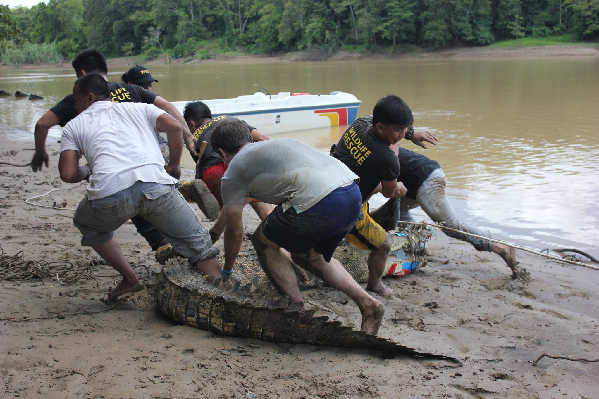
Human-Wildlife Conflict & Coexistence

A decade of work on saltwater crocodiles and Bornean elephants, from satellite tracking and population genetics to the statewide crocodile action plan that underpins Sabah's CITES non-detriment finding. Current work brings population and harvest modelling to conflict, so that management decisions can be weighed against their likely effect on both wildlife and people.

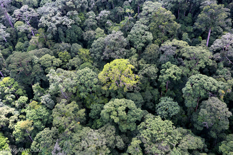
Aerial view of tropical rainforest canopy in Borneo

Working Lands & Habitat

Remote sensing to find where habitat gain costs a landowner least. In Borneo, oil palm land that flooded regularly and yielded poorly was identified from LiDAR and satellite imagery, and retiring it reconnected isolated forest at a saving to the grower. The same approach applies wherever habitat and agriculture share a landscape, using satellite time series and LiDAR to find the ground that gives the most back to wildlife for the least cost to production.

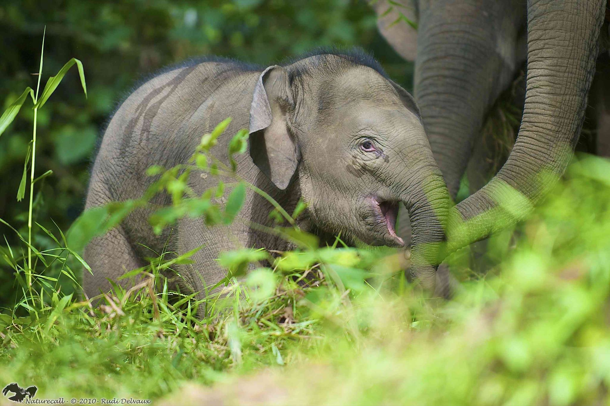
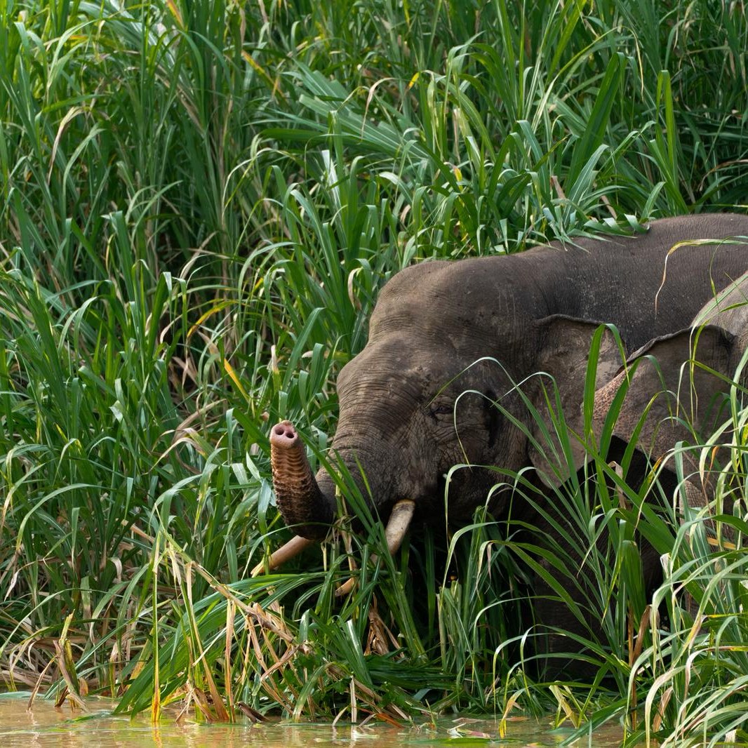
Bornean pygmy elephant calf in Sabah

Protected Areas & Movement Ecology

Pairing animal movement with high-resolution habitat mapping to set conservation priorities. Research on Bornean elephant connectivity and forest carbon contributed to the creation of a 400,000-hectare protected area in Sabah, and continues in spatial prioritisation for wildlife corridors and mixed-use landscapes.

Extension & Outreach

My research is delivered as tools, workshops, and management plans that agencies, landowners, and communities use, rather than as reports.

Implemented

Tegu Removal Programme Evaluation

Application tracking catch rates and population trends across twelve years of tegu removal in the Everglades.

National Park Service, Dept. of the Interior, 2026

Implemented

Climate Adaptation Invasion Risk Tool

Climate adaptation considerations in invasion risk development.

Florida Fish and Wildlife Conservation Commission (FWC), 2025

Implemented

Everglades Restoration Invasion Support Tool

Invasion risk screening for Everglades restoration projects.

Office of Everglades Restoration (OERI), Dept. of the Interior, 2024

Implemented

Invasion Risk Decision Support Tool

Statewide invasion risk assessment platform for the pet trade, used by agency staff for rapid and full assessments of new reports.

Florida Fish and Wildlife Conservation Commission (FWC), 2023

Implemented

Climate Futures of Invasives in the Southeast

Climate futures modelling for current and potential invasive species.

Southeast Climate Adaptation Science Center (SECASC), 2022

Implemented

Statewide Crocodile Population Model

Population modelling framework for estuarine crocodiles across Sabah, underpinning the state's CITES non-detriment finding.

Sabah State Government, Malaysia, 2021

Workshops & Training

  • UF Invasive Species Risk Determination Workshop (2024). Co-organised, 60+ participants from state and federal agencies, NGOs, and industry. Expert elicitation that became a data stream in the Everglades tool.
  • SECASC Invasive Species Workshop (2022). Co-organised, 25 agency and NGO participants over two days, analysing and visualising their own data in real time.

Management Plans & Policy

  • Statewide crocodile action plan, Sabah, underpinning a CITES non-detriment finding.
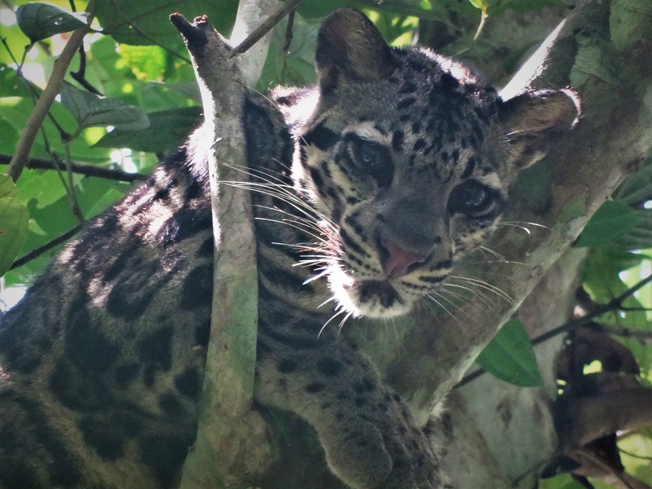
  • State action plans for three endangered species: proboscis monkey, Bornean banteng, and clouded leopard.
  • Protected area designation: 400,000 ha of mixed-use forest in Sabah with Rainforest Trust.

Community & Media

  • Village meetings and school visits across the Kinabatangan on crocodile and elephant safety.
  • Children's book: Opogi; a Bornean Crocodile (2019), Natural History Publications, Malaysia.
  • Television and press: Animal Planet's The Amazon of the East, Borneo Jungle Diaries, Mongabay, and international news.

Selected Publications

Google Scholar: 900+ citations · h-index 15

2025

Fredston, A.*, Tingley, M.*, Neate-Clegg M., Evans, L. J., … Scheffers, B.

Reimagining species on the move across space and time.

Trends in Ecology and Evolution, 40(7), 629–638.

2025

Evans, L. J., Baecher, J. A., Scheffers, B. R.

Invasion risk posed by the pet trade.

Frontiers in Ecology and the Environment, 23(3), e2825.

2024

Klinges, D. H., Baecher, J. A., Lembrechts, J. J., … Evans, L. J., … Scheffers, B. R.

Proximal microclimate: Moving beyond spatiotemporal resolution improves ecological predictions.

Global Ecology and Biogeography, 33(9), e13884.

2021

Carlson, R. R., Evans, L. J., Foo, S. A., Grady, B. W., Li, J., Seeley, M., … Asner, G. P.

Synergistic benefits of conserving land-sea ecosystems.

Global Ecology and Conservation, 28, e01684.

2020

Evans, L. J., Goossens, B., Davies, A. B., Reynolds, G., Asner, G. P.

Natural and anthropogenic drivers of Bornean elephant movement strategies.

Global Ecology and Conservation, 22, e00906.

2020

Williams, S. et al.

Conservation planning that incorporates regional-scale landscape connectivity.

Conservation Biology, 34(4), 934–942.

2018

Evans, L. J., Asner, G. P., & Goossens, B.

Protected area management priorities crucial for the future of Bornean elephants.

Biological Conservation, 221, 365–373.

2018

Asner, G. P., et al.

Mapped aboveground carbon stocks to advance forest conservation and recovery in Malaysian Borneo.

Biological Conservation, 217, 289–310.

2017

Evans, L. J., Goossens, B., & Asner, G. P.

Underproductive agriculture aids connectivity in tropical forests.

Forest Ecology and Management, 401, 159–165.

2017

Evans, L. J., Davies, A. B., Goossens, B., & Asner, G. P.

Riparian vegetation structure and the hunting behavior of adult estuarine crocodiles.

PLoS ONE, 12(10), e0184804.

2016

Evans, L. J., Jones, T. H., Pang, K., Saimin, S., & Goossens, B.

Spatial ecology of estuarine crocodile nesting in a fragmented landscape.

Sensors, 16(9), 1527.

2015

Evans, L. J., Jones, T. H., Pang, K., Evans, M. N., Saimin, S., & Goossens, B.

Use of drone technology as a tool for behavioral research: a case study of crocodilian nesting.

Herpetological Conservation and Biology, 10, 90–98.

Published Book

Kaur-Kler, J., Evans, L. J., Goossens, B. (2019). Opogi; a Bornean Crocodile. Natural History Publications, Kota Kinabalu, Sabah, Malaysia.

Grants & Support

Close to $1 million USD in research grants from governmental agencies, NGOs, and institutions across four countries.

$259,376

National Park Service, Dept. of the Interior

2025 · co-PI · Tegu removal programme evaluation

$104,302

Florida Fish and Wildlife Conservation Commission

2022 · co-PI

$75,465

US Department of the Interior

2023 · co-PI

$22,605

Florida Fish and Wildlife Conservation Commission

2024 · PI

~$400,000

Ocean Park Hong Kong

2016–2020 · Major Collaborator

~$100,000

Sabah State Government

2016–2019 · co-PI · Crocodile Population Survey

Funding Partners

National Park Service US Department of the Interior Florida FWC SECASC IUCN Rainforest Trust Ocean Park Hong Kong Chester Zoo Columbus Zoo Sabah Wildlife Department

Teaching & Mentoring

Approach

Courses built around real problems. Students work from a management question towards a defensible answer, using the same kinds of data and tools that practitioners rely on, and learn the quantitative methods along the way.

Teaching Interests

Quantitative Ecology Invasion Science Human-Wildlife Conflict Spatial Ecology Population Modelling Remote Sensing Conservation Biology Field Techniques R Programming

Mentoring

  • Sai Kerisha Kntayya / Ph.D. (2018–2024), co-supervised
    Landscape genetics and habitat viability of estuarine crocodiles in Sabah
  • Richard Burger / Ph.D. (2016–2023), co-supervised
    Survey methods for the reticulated python in a fragmented landscape
  • Three M.S. and M.Res students (2014–2019)
    Green turtle growth, crocodile basking ecology, and crocodile distribution along the Kinabatangan
  • Undergraduate researchers (2012–present)
    Including a first-author publication on bearded pig habitat use (Love et al. 2018)

Field Courses

Lectured on 80+ field courses at Danau Girang Field Centre, teaching undergraduate and graduate students from institutions across the US, UK, China, Netherlands, and Germany, alongside school groups from Malaysia and Singapore.

Including Cardiff, University of Miami (Ohio), Oregon State, Portland State, University of Hong Kong, and Leiden University.

Interested in Working Together?

I'm always open to hearing from students, researchers, agency staff, and landowners who share interests in any of the areas below. If something here overlaps with your work or goals, I'd be glad to chat.

Invasive species risk and removal programme evaluation
Human-wildlife conflict and population modelling
Working lands, remote sensing, and habitat prioritisation
Decision support tools and expert elicitation

Feel free to reach out if you'd like to discuss research ideas, potential collaborations, or opportunities within the department.

  Get in Touch

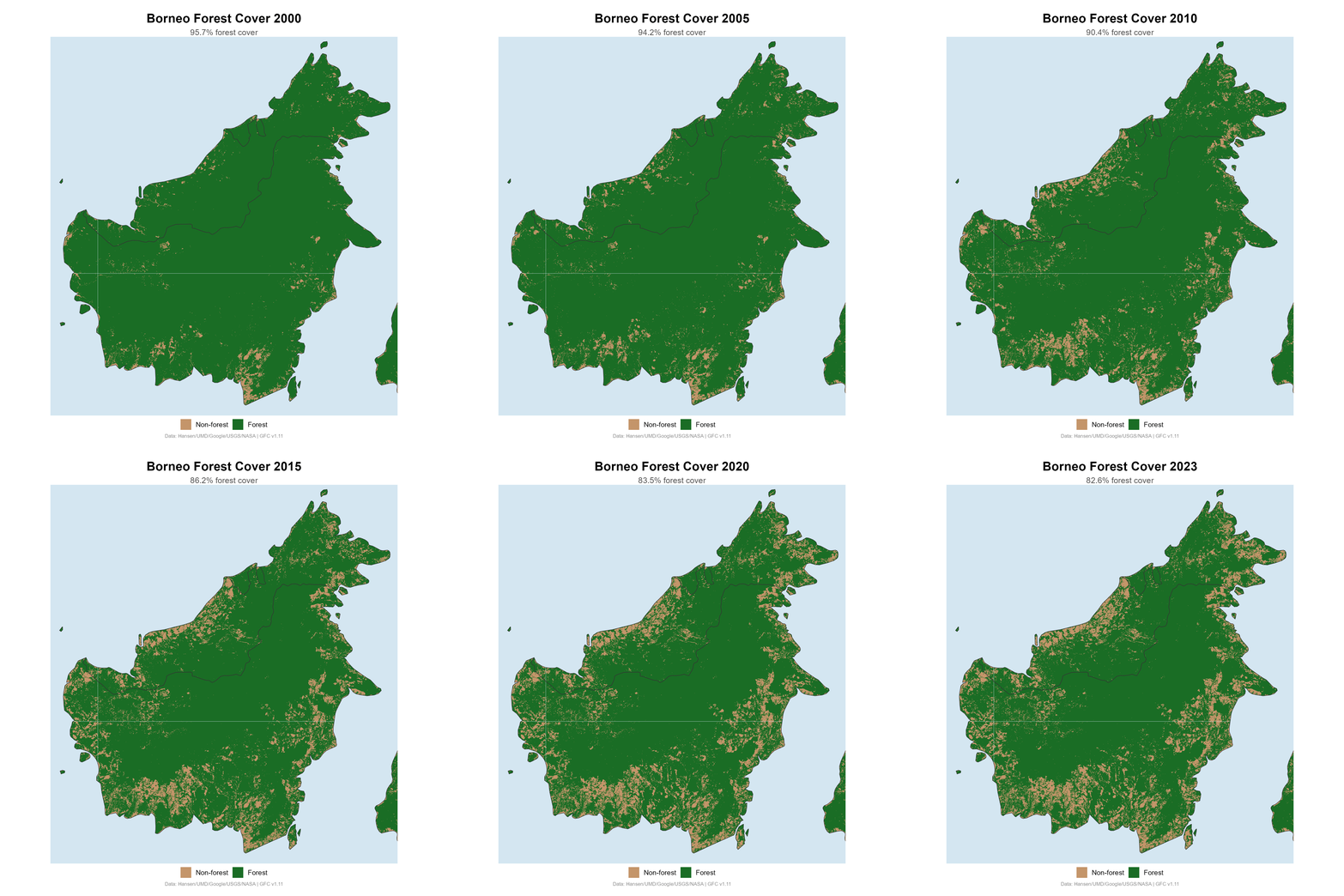
Borneo Deforestation

This visualization shows the dramatic decline in forest cover across Borneo from 2000 to 2023. Understanding these landscape-level changes is central to my research on wildlife connectivity, habitat fragmentation, and conservation prioritization in Southeast Asia.

My work with the Carnegie Airborne Observatory and Rainforest Trust directly contributed to establishing a 400,000-hectare protected area in Sabah to combat this ongoing loss.

Borneo deforestation from 2000 to 2023

Get in Touch

Department

Wildlife Ecology & Conservation
University of Florida
Gainesville, FL

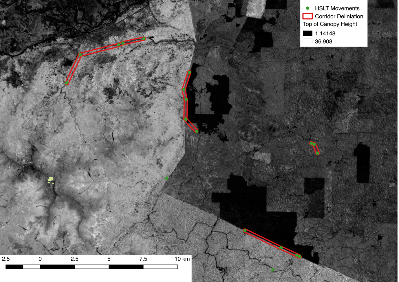
LiDAR canopy height model showing elephant movement corridors in Sabah, Borneo
LiDAR Canopy Height & Elephant Corridors Sabah, Malaysian Borneo